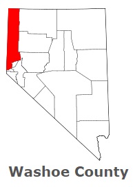
The borders of Washoe County over the map of Nevada
Explore some more counties of Nevada:
- White Pine County
- Storey County
- Pershing County
- Nye County
- Mineral County
- Lyon County
- Lincoln County
- Lander County
- Humboldt County
- Eureka County
- Esmeralda County
- Elko County
- Douglas County
- Churchill County
- Clark County
Full list of Nevada maps
This online map of Washoe County, Nevada is provided by Bing Maps. Please add a bookmark and share the page with your friends!