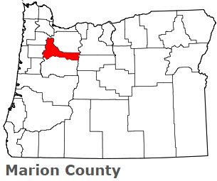
The borders of Marion County over the map of Oregon
Explore some more counties of Oregon:
- Yamhill County
- Wheeler County
- Washington County
- Wasco County
- Wallowa County
- Union County
- Umatilla County
- Tillamook County
- Sherman County
- Polk County
- Morrow County
- Malheur County
- Linn County
- Lincoln County
- Lane County
- Lake County
- Klamath County
- Josephine County
- Jefferson County
- Jackson County
Full list of Oregon maps
This online map of Marion County, Oregon is provided by Bing Maps. Please add a bookmark and share the page with your friends!