The exact coordinates of Box Elder South Dakota for your GPS track:
Latitude 44.111916 North, Longitude 103.067879 West.
Please share the link with friends and neighbors:
Share on Facebook
Share on WhatsApp
Share on Telegram
Share on Facebook
Share on WhatsApp
Share on Telegram
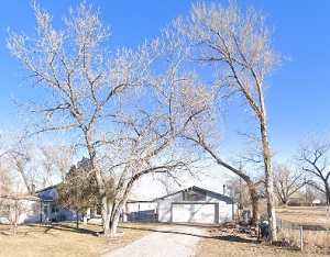
An image of Box Elder
More city maps of South Dakota:
- Map of Aberdeen
Aberdeen (incorporated in 1883) is the third most populous city in South Dakota. It is the county ... - Map of Mitchell
Mitchell, South Dakota is a shining city located in the southeastern part of the state. It is the ...
Full list of South Dakota maps
This online map of Box Elder, South Dakota is provided by Bing Maps. Please add a bookmark and share the page with your friends!