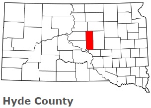
The borders of Hyde County over the map of South Dakota
Explore some more counties of South Dakota:
- Ziebach County
- Yankton County
- Walworth County
- Union County
- Turner County
- Tripp County
- Todd County
- Sully County
- Stanley County
- Spink County
- Sanborn County
- Roberts County
- Potter County
- Perkins County
- Pennington County
- Oglala Lakota County
- Moody County
- Minnehaha County
- Miner County
- Mellette County
Full list of South Dakota maps
This online map of Hyde County, South Dakota is provided by Bing Maps. Please add a bookmark and share the page with your friends!