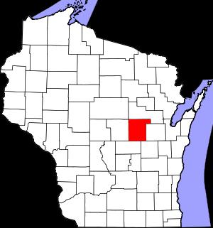
The borders of Waupaca County over the map of Wisconsin
Explore some more counties of Wisconsin:
- Wood County
- Winnebago County
- Waushara County
- Waukesha County
- Washington County
- Washburn County
- Walworth County
- Vilas County
- Vernon County
- Trempealeau County
- Taylor County
- St. Croix County
- Sheboygan County
- Shawano County
- Sawyer County
- Sauk County
- Rusk County
- Rock County
- Richland County
- Racine County
Full list of Wisconsin maps
This online map of Waupaca County, Wisconsin is provided by Bing Maps. Please add a bookmark and share the page with your friends!