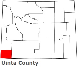
The borders of Uinta County over the map of Wyoming
Explore some more counties of Wyoming:
- Weston County
- Washakie County
- Teton County
- Sweetwater County
- Sublette County
- Sheridan County
- Platte County
- Park County
- Niobrara County
- Natrona County
- Lincoln County
- Laramie County
- Johnson County
- Hot Springs County
- Goshen County
- Fremont County
- Crook County
- Converse County
- Carbon County
- Campbell County
Full list of Wyoming maps
This online map of Uinta County, Wyoming is provided by Bing Maps. Please add a bookmark and share the page with your friends!