Please share the link with friends and neighbors:
Share on Facebook
Share on WhatsApp
Share on Telegram
Share on Facebook
Share on WhatsApp
Share on Telegram
Nha Trang is listed in:
Cool facts and FAQ about Nha Trang:
Where is Nha Trang located and how do you get there?What is Nha Trang famous for?
When is the best time to visit Nha Trang?
Is Nha Trang expensive for tourists?
What are the best things to do in Nha Trang?
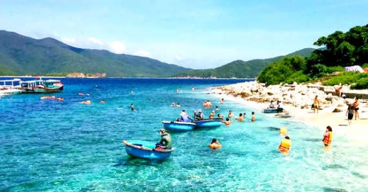
Image of Nha Trang:
Check out some more famous and interesting places on our planet:
- Bougainville
- New Brunswick
- Manitoba
- Alberta
- British Columbia
- Nova Scotia
- Ontario
- Grand Faw Port
- Hampshire
- Gloucestershire
- Essex
- East Sussex
- East Yorkshire
- Durham
- Dorset
- Devon
- Derbyshire
- Cumbria
- Cornwall
- Cheshire
This online map of Nha Trang is provided by OpenStreetMap.
Please add a bookmark and share the page with your friends!