Please share the link with friends and neighbors:
Share on Facebook
Share on WhatsApp
Share on Telegram
Share on Facebook
Share on WhatsApp
Share on Telegram
Stepanakert is listed in:
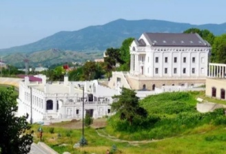
Image of Stepanakert:
Check out some more famous and interesting places on our planet:
- Kibbutz Beeri
- Khartoum
- Bakhmut
- Soledar
- Saskatchewan
- The Green Zone of Baghdad
- Nara (Japan)
- St. Francis Hospital of Tulsa
- Robb Elementary School
- Izyum
- Kramatorsk
- Borodyanka
- Bucha
- Kharkiv
- Yanqing District
- Hebei province
- Badakhshan
- Geneva
- Carbis Bay
- Donbass
This online map of Stepanakert is provided by OpenStreetMap.
Please add a bookmark and share the page with your friends!