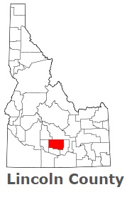
The borders of Lincoln County over the map of Idaho
Explore some more counties of Idaho:
- Washington County
- Valley County
- Twin Falls County
- Teton County
- Shoshone County
- Power County
- Payette County
- Owyhee County
- Oneida County
- Nez Perce County
- Minidoka County
- Madison County
- Lewis County
- Lemhi County
- Latah County
- Kootenai County
- Jerome County
- Jefferson County
- Idaho County
- Gooding County
Full list of Idaho maps
This online map of Lincoln County, Idaho is provided by Bing Maps. Please add a bookmark and share the page with your friends!