Please share the link with friends and neighbors:
Share on Facebook
Share on WhatsApp
Share on Telegram
Share on Facebook
Share on WhatsApp
Share on Telegram
Lebanon is listed in:
Cool facts and FAQ about Lebanon:
What is the capital of Lebanon?What language do people speak in Lebanon?
What religion is most common in Lebanon?
What is Lebanon famous for?
Is Lebanon safe to visit?
What food should I try in Lebanon?
What’s daily life like in Lebanon?
Cool facts about Lebanon
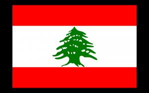
Image of Lebanon:
Check out some more famous and interesting places on our planet:
- Sri Lanka
- Macao
- Ukraine
- Guinea-Bissau
- New Caledonia
- Guinea
- Ghana
- Georgia
- Gabon
- Ethiopia
- Djibouti
- Côte d'Ivoire
- Cuba
- Colombia
- Aruba
- Chad
- Cameroon
- Botswana
- Bosnia and Herzegovina
- Benin
This online map of Lebanon is provided by OpenStreetMap.
Please add a bookmark and share the page with your friends!