The exact coordinates of Kodiak Alaska for your GPS track:
Latitude 57.789158 North, Longitude 152.408936 West.
Please share the link with friends and neighbors:
Share on Facebook
Share on WhatsApp
Share on Telegram
Share on Facebook
Share on WhatsApp
Share on Telegram
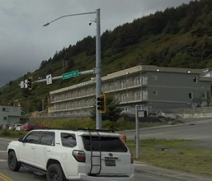
An image of Kodiak
More city maps of Alaska:
- Map of College
College, Alaska is a nice CDP found in Fairbanks North Star Borough. It's commonly associated with... - Map of Sitka
Sitka, Alaska is a city and a borough located on Baranof Island in the Alexander Archipelago of th... - Map of Gateway
Gateway, Alaska is a pleasant CDP found in Matanuska-Susitna Borough. It stands only about 38 mile...
Full list of Alaska maps
This online map of Kodiak, Alaska is provided by Bing Maps. Please add a bookmark and share the page with your friends!