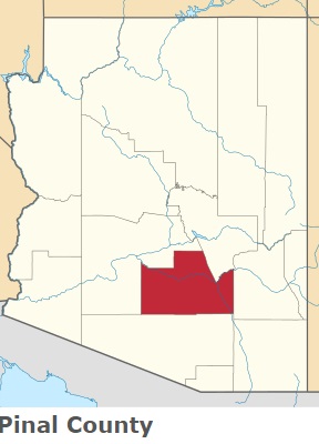
The borders of Pinal County over the map of Arizona
Explore some more counties of Arizona:
- Yuma County
- Yavapai County
- Santa Cruz County
- Navajo County
- Mohave County
- La Paz County
- Greenlee County
- Graham County
- Gila County
- Coconino County
- Cochise County
- Apache County
- Pima County
- Maricopa County
Full list of Arizona maps
This online map of Pinal County, Arizona is provided by Bing Maps. Please add a bookmark and share the page with your friends!