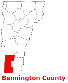
Bennington County is found on the southern edge of Vermont. The population of Bennington County exceeds 37 thousand people. The county, formed back in 1779 as one of Vermont's original two counties, spans a total area of 676 square miles. The shire town of Bennington County is Bennington, Manchester. The county is named after Benning Wentworth (1696-1770), the colonial governor of New Hampshire (1741-1766). This map shows the borders of Bennington County as well as neighboring counties,
including major highways and natural objecsts as of 2024.
Zoom in or out of the map using the plus/minus panel. Move the center of this map by dragging it.
Also check out the satellite map of Bennington County.
Please share the map of Bennington County with your friends:
The borders of Bennington County over the map of Vermont
Explore some more counties of Vermont:
This online map of Bennington County, Vermont is provided by Bing Maps.
Please add a bookmark and share the page with your friends!