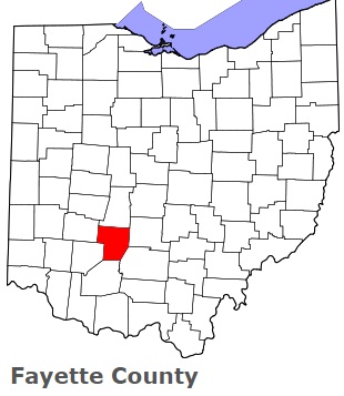
The borders of Fayette County over the map of Ohio
Explore some more counties of Ohio:
- Wyandot County
- Wood County
- Williams County
- Wayne County
- Washington County
- Warren County
- Vinton County
- Van Wert County
- Ross County
- Union County
- Richland County
- Tuscarawas County
- Putnam County
- Trumbull County
- Preble County
- Summit County
- Portage County
- Stark County
- Pike County
- Shelby County
Full list of Ohio maps
This online map of Fayette County, Ohio is provided by Bing Maps. Please add a bookmark and share the page with your friends!