Fayette County on the map of Ohio 2026. Cities, roads, borders and directions in Fayette County of Ohio.
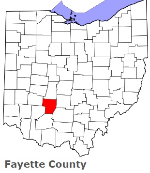
USA / Ohio / Fayette CountyFayette County is located in the southern region of Ohio. This outstanding county is named in honor of Gilbert du Motier, marquis de La Fayette, French military officer. The county seat of Fayette County is Washington Court House. The county's area exceeds 406.58 square miles. Founded on Mar 1, 1810 from Ross and Highland Counties, today Fayette County counts over 29 thousand inhabitants. This map shows the borders of Fayette County as well as neighboring counties, including major highways and natural objecsts as of 2026. Zoom in or out of the map using the plus/minus panel. Move the center of this map by dragging it. Also check out the satellite map of Fayette County.
The borders of Fayette County over the map of Ohio
Explore some more counties of Ohio:
- Wyandot County
- Wood County
- Williams County
- Wayne County
- Washington County
- Warren County
- Vinton County
- Van Wert County
- Ross County
- Union County
- Richland County
- Tuscarawas County
- Putnam County
- Trumbull County
- Preble County
- Summit County
- Portage County
- Stark County
- Pike County
- Shelby County
Full list of Ohio maps
This online map of Fayette County, Ohio is provided by Bing Maps. Please add a bookmark and share the page with your friends!
© 2026 City maps and famous places