Piscataquis County on the map of Maine 2025. Cities, roads, borders and directions in Piscataquis County of Maine.
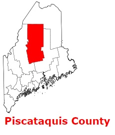
USA / Maine / Piscataquis CountyPiscataquis County is a large county situated in the central region of Maine. The population of Piscataquis County exceeds 17 thousand people. The county, set up back in 1838 from parts of Penobscot County and Somerset County, spans a total area of 4,377 square miles. The county seat of Piscataquis County is Dover-Foxcroft. The county is named after an Abenaki word meaning rapid waters. This map shows the borders of Piscataquis County as well as neighboring counties, including major highways and natural objecsts as of 2025. Zoom in or out of the map using the plus/minus panel. Move the center of this map by dragging it. Also check out the satellite map of Piscataquis County.
The borders of Piscataquis County over the map of Maine
Explore some more counties of Maine:
- York County
- Washington County
- Waldo County
- Somerset County
- Sagadahoc County
- Penobscot County
- Oxford County
- Lincoln County
- Knox County
- Kennebec County
- Hancock County
- Franklin County
- Cumberland County
- Aroostook County
- Androscoggin County
Full list of Maine maps
This online map of Piscataquis County, Maine is provided by Bing Maps. Please add a bookmark and share the page with your friends!
© 2025 City maps and famous places