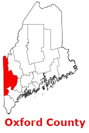
The borders of Oxford County over the map of Maine
Explore some more counties of Maine:
- York County
- Washington County
- Waldo County
- Somerset County
- Sagadahoc County
- Piscataquis County
- Penobscot County
- Lincoln County
- Knox County
- Kennebec County
- Hancock County
- Franklin County
- Cumberland County
- Aroostook County
- Androscoggin County
Full list of Maine maps
This online map of Oxford County, Maine is provided by Bing Maps. Please add a bookmark and share the page with your friends!